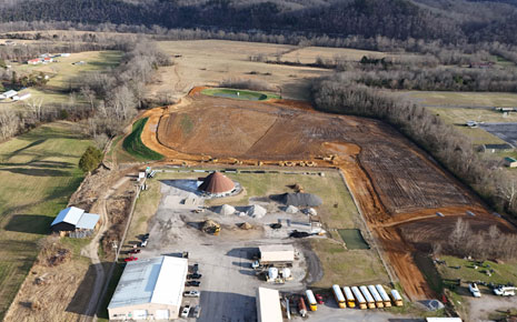
Cumberland River Industrial Park
In 2013, the community created a comprehensive strategic plan stating one of their main priorities as, "supporting business retention and expansion". As a continuation of this strategic effort the Burkesville-Cumberland County IDA partnered with the Tennessee Valley Authority to identify local properties suitable for development.
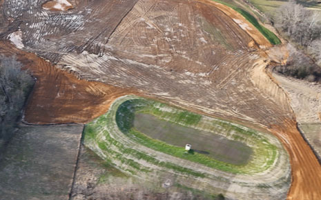
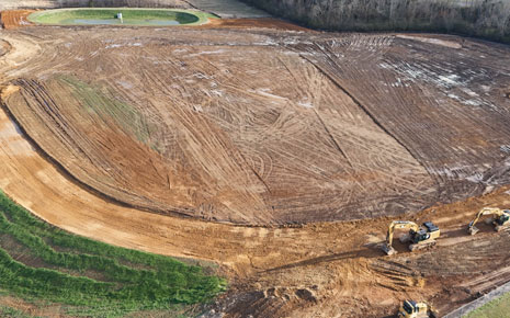
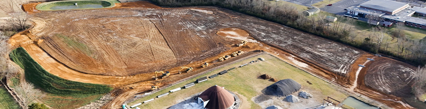
The most feasible site was selected based on ease-of-access, high-quality roads, water and wastewater capacity, broadband access, and natural gas availability. In 2021, the property was selected and purchased by the local IDA. The KY Build Ready Certification standards are being used to guide the development of the property. Precision Engineering was also procured to help begin developing the property.
Since then, a phase I environmental and geotechnical assessment have been completed. The property has also been zoned for industrial use and is located in a designated Opportunity Zone. Precision Engineering has recently completed initial design concepts which include space for multiple spec buildings. Once plans are approved, the project will be opened for public bidding with access road and utility development scheduled to begin in Fall of 2022.